ECDIS
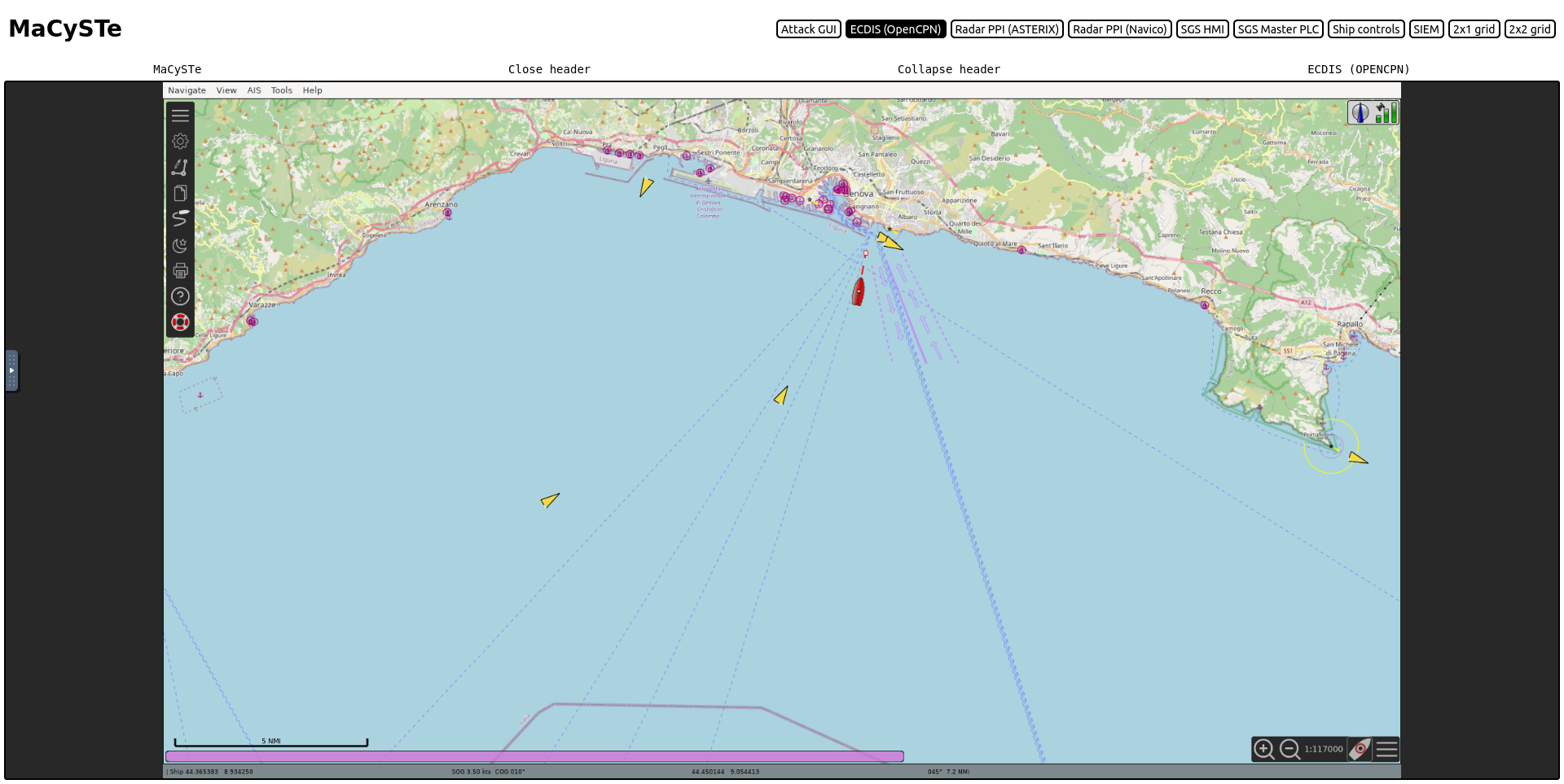
The Electronic Chart Display and Information System used by MaCySTe is the well-known OpenCPN project.
We invite users to refer to its documentation for more information on its usage and powerful features.
Please refer to the autopilot track control section for more informations on how to use it for waypoint to waypoint automatic navigation.
We leverage it as-is with the only addition of nautical charts for the Genoa scenario.
